

 Feed
Feed Scan with QR Code Reader
 mobi
mobi- Advertise / Donate
Welcome !
Newquay weather receives over 1000 vistors per day winter time, rising to over 3000 to 4000 or more in the summer, including visitors from all over the world.
Please help support this site

Your business

Via Paypal
- Accommodation
Hotels, B&B's and Caravan and Camping Sites

Porth Sands - Luxury beach accommodation wth beach facing balconies, a golden sandy beach making it the perfect place to idle away the hours- swimming, body boarding, sunbathing and paddling.
- Food
Restaurants, Cafe's, Takeaways
Pachanga - Pachanga Authentic Mexican Since 2016 we've been re-creating dishes that are part of our cultural heritage using techniques that are unique to Mexico. We use mostly Mexican, local & organic produce in our dishes & drinks
- Charity Events
Charity Events - Max 3 free ads
For a Free Charity Ad Here, please contact me- - Houses for Sale
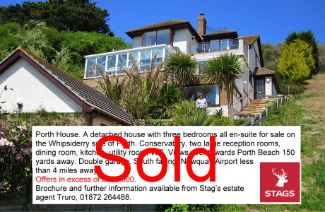
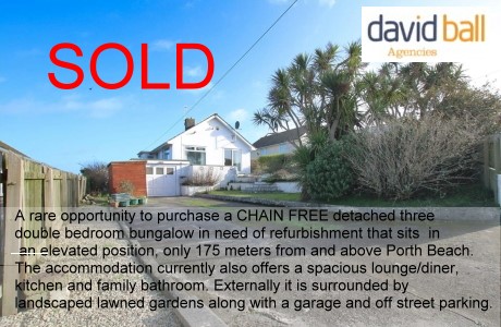
Houses for Sale
Advertise your house for sale here and help support this site.
Small photo, text + link to agents for a One off ₤25. Please contact me.Advertise your house for sale here
- Local Services
Shops, Services etc
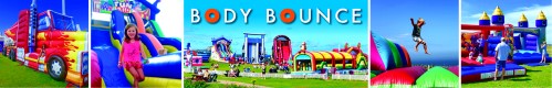
Body BounceBody Bounce bouncy castle park in Newquay. Great fun, fantastically priced and we are open during the warmer months weather depending. (Postcode for SATNAV: TR7 2QF). Body Bounce also provides private bouncy castle hire. Check out our full range at Body-Bounce
Met Office Pressure Charts
Please click a time below for chart.
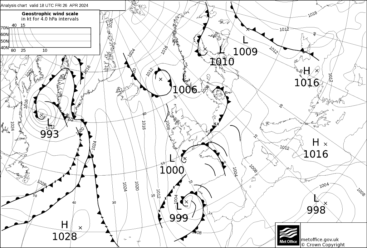
Weather systems
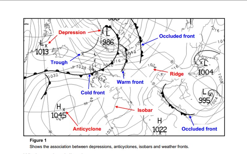
High pressure or anticycloneIn an anticyclone (also referred to as a 'high') the winds tend to be light and blow in a clockwise direction. Also the air is descending, which inhibits the formation of cloud. The light winds and clear skies can lead to overnight fog or frost. If an anticyclone persists over northern Europe in winter, then much of the British Isles can be affected by very cold east winds from Siberia. However, in summer an anticyclone in the vicinity of the British Isles often brings fine, warm weather.
Low pressure or depression
In a depression (also referred to as a 'low'), air is rising. As it rises and cools, water vapour condenses to form clouds and perhaps precipitation. Consequently, the weather in a depression is often cloudy, wet and windy (with winds blowing in an anticlockwise direction around the depression). There are usually frontal systems associated with depressions.
Fronts
The boundary between two different types of air mass is called a front. In our latitudes a front usually separates warm, moist air from the tropics and cold, relatively dry air from Polar Regions. On a weather chart, the round (warm front) or pointed (cold front) symbols on the front point in the direction of the front's movement. Fronts move with the wind, so they usually travel from the west to the east. At a front, the heavier cold air undercuts the less dense warm air, causing the warm air to rise over the wedge of cold air. As the air rises there is cooling and condensation, thus leading to the formation of clouds. If the cloud becomes sufficiently thick, rain will form. Consequently, fronts tend to be associated with cloud and rain. In winter, there can be sleet or snow if the temperature near the ground is close to freezing. It is convenient to distinguish between warm fronts, cold fronts and occluded fronts.Cold Front:
moves so that the cold air is advancing to replace the warm air. This means that as a cold front passes, the weather changes from being mild and overcast to being cold and bright, possibly with showers (typical of cold polar air travelling over the sea). The passage of the front is often marked by a narrow band of rain and a veer in the wind direction.
Warm Front:
As the warm front approaches, there is thickening cloud and eventually it starts to rain. The belt of rain extends 100-200 miles ahead of the front. Behind the front the rain usually becomes lighter, or ceases, but it remains cloudy. As a warm front passes, the air changes from being fairly cold and cloudy to being warm and overcast (typical of warm air from the tropics travelling over the sea). Also there is a clockwise change in wind direction, and the wind is said to 'veer'.
Occluded Front:
An occluded front can be thought of as being a result of the warm and cold fronts meeting. Consequently, ahead of an occlusion the weather is similar to that ahead of a warm front, whereas behind the occlusion it is similar to that behind a cold front.
Isobars
The lines shown on a weather map are isobars - they join points of equal atmospheric pressure.
Charts showing isobars are useful because they identify features such as anticyclones and ridges (areas of high pressure) and depressions and troughs (areas of low pressure), which are associated with particular kinds of weather.
Relationship between isobars and wind
There are two important relationships between isobars and winds.